Survey

Hydrographic surveys
Hydrographic surveys are increasingly common as ports and waterways are upgraded to support infrastructure developments such as offshore wind projects. Our teams are well-versed in basic bathymetry and hydrography to carry out initial surveys and work alongside bed-levelling requirements.
Underwater cameras
Drop cameras and remotely-operated vehicles (ROVs) are used to carry out inspections on bridges, reefs, jetties, and salvage assessments. Asset owners, research groups and government bodies can carry out work scope and marine life assessments without the cost of putting divers in the water.
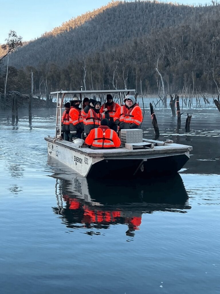
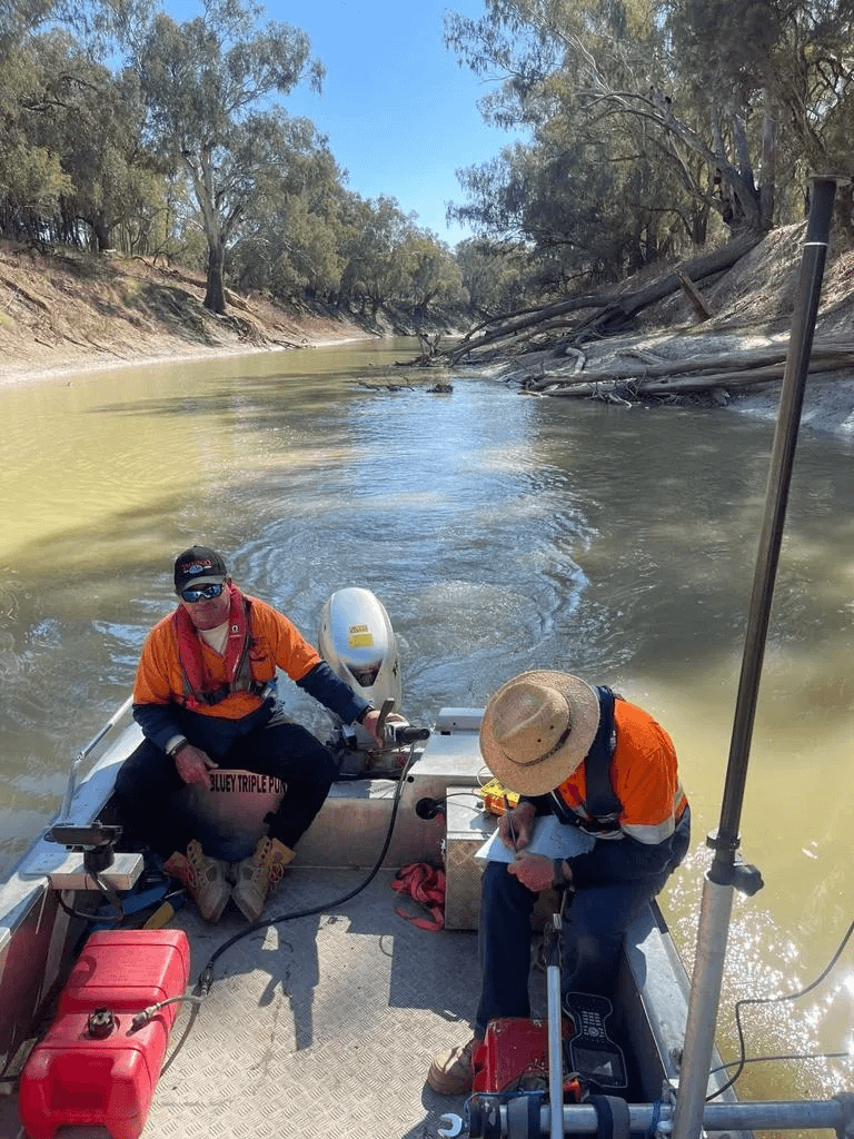
Boab Commercial Marine works on both sides of survey projects. We carry out basic bathymetry, drop camera and ROV work directly, and we provide survey-ready vessels and certified skippers to consultancies, engineers and government agencies running their own instruments. On sites such as the Three River hydrographic survey, Snowy Hydro 2.0 and Tantangara Tunnel, the vessel and the crew were the difference between the survey happening on schedule and waiting for a weather window that never came.
What does a hydrographic survey involve?
A hydrographic survey measures the depth and shape of a waterway bed and records what sits on it. A vessel runs planned survey lines while an echo sounder records depth and a positioning system records where each reading was taken. The processed result is a bathymetric chart or point cloud used for dredging volumes, bed levelling, structural design, navigation clearance and asset condition.
Surveys get commissioned for port and channel upgrades, dredge design and volume verification, offshore wind and cable route assessment, bridge and wharf works, dam capacity and sedimentation studies, and pre- and post-construction comparison.
What we fit to a survey vessel
Specification varies by vessel, so confirm the setup for yours before mobilisation. Reach out to our team today to discuss your project.
Survey work punishes a boat that was not set up for it. Our vessels can be configured with:

Moon pools for through-hull transducer deployment, which keeps the sensor out of prop wash and hull turbulence.
Electric positioning systems for holding stations and running lines accurately at low speed.
Launch and recovery frames, davits and winches for ROVs, drop cameras and sampling gear.
Generators and compressors for instrument power and dive or ROV support.
Clear working deck space and mounting points for pole-mounted transducers and GNSS masts.
Anchoring systems for static work and sustained station keeping
Drop camera, ROV or divers?
The three get confused, and choosing the wrong one costs either money or information.
The general rule is to work down that list. Use the most economical method that answers the question, and only put people in the water when the job needs hands rather than eyes.
| Method | Best for | Trade-off |
|---|---|---|
| Drop camera | Quick visual checks at a known point: scour around a pier, debris on a bed, condition of a pile | Limited to what sits directly below the drop point. No manoeuvring. |
| ROV | Inspecting a structure across its full face, following a pipeline or cable, surveying inside intakes and confined water. | Needs deck space, power and a launch and recovery setup. Visibility dependent. |
| Divers | Anything requiring hands: measurement, cleaning, recovery, physical intervention. | Highest cost, highest risk, and the slowest to mobilise under a safety case. |
Vessels used for survey work
Survey vessel choice comes down to how far offshore you are working, how long you need to stay out and how much gear is going on deck.
- Shallow rivers, dams and creeks suit a small, stable platform such as Little Mate, a 4.9 metre catamaran rated for smooth and partially smooth waters.
- Working deck space and a tough hull come from vessels like Aquatruck, a 7.5 metre HDPE workboat.
- Coastal and open-water survey suits Crooked, a 9.1 metre tri-hull cleared for 2C operations.
- Extended and remote programs suit larger vessels such as Wai Nawana, a 15.75 metre aluminium monohull with liveaboard capability, which removes the daily run back to a ramp.
Compliance and crew
Every Boab vessel is maintained to commercial survey standard and complies with the National Standard for Commercial Vessels under the Australian Maritime Safety Authority (AMSA). Our skippers hold current AMSA Certificates of Competency for the vessel and operational area they are working in. Plus, our crews come from marine, construction and government backgrounds, so they work comfortably under your safety management system and site induction requirements.
That background matters more for marine survey services than for transport. Running survey lines accurately at low speed, holding station over a structure and keeping a transducer clean of turbulence are handling skills, not navigation skills, and they can be the difference between usable data and a re-run.
Where we work
Boab Commercial Marine operates Australia-wide from our base at Oak Flats, New South Wales. Because the fleet is road-transportable, we reach inland dams, alpine storages and remote river systems that coastal-only operators cannot. We work regularly across Sydney and NSW waterways, the Shoalhaven and Illawarra, the Snowy Mountains and ACT, and into Queensland, Victoria, Western Australia, South Australia, Tasmania and the Northern Territory.
Frequently asked questions (FAQs)
Do you carry out the survey, or supply the vessel?
Either. Boab performs basic bathymetry, drop-camera inspections and ROV deployments for initial surveys, condition checks, work scoping and salvage assessment. Boab also provides the platform: if you are a survey consultancy, engineering firm, research group, or government agency with your own multibeam, side scan, magnetometer or ROV, we supply the vessel, deck setup, power and skipper, and you bring the instrument and the surveyor.
Most detailed and certified survey work on major infrastructure is carried out by specialist survey firms. We work alongside them constantly, and we are straight about where the line sits because a client who finds that out at mobilisation has already lost a day.
Can your vessel take our own survey equipment?
Yes. Client-supplied multibeam, single beam, side scan, magnetometer and ROV systems are mobilised on our vessels regularly. Send through the equipment list, power draw, mounting requirements and any transducer deployment method ahead of time so we can confirm the right vessel and configure the deck before you arrive on site.
What water depths can you work in?
Our fleet spans very shallow to open coastal water. Shallow rivers, dam margins and creek systems are reached with punts and small catamarans, while larger monohulls handle offshore work. Shallow access is usually limited by the vessel’s draft and by the transducer mounting, not by the survey equipment itself.
Who owns the data collected on a survey?
Where a client’s surveyor operates their own instrument from our vessel, the data is theirs entirely. Where Boab carries out basic bathymetry or camera work directly, deliverables and data ownership are set out in the scope before the job starts. We do not reuse or on-sell client survey data.
What conditions stop a survey day?
Wind chop is usually the limit rather than wind speed. Vessel motion introduces error into depth readings and makes station keeping harder, so a survey can be stood down in conditions a transport job would run in comfortably. Skippers make the call on the day, and we flag a marginal forecast early rather than in the morning.
Do you survey inland dams, rivers and alpine storages?
Yes, and it is a large share of what we do. Our fleet is road-transportable, so vessels reach inland and high-altitude water where there is no ramp infrastructure or coastal access. Snowy Hydro 2.0, Tantangara Tunnel and Cotter Dam are all inland or alpine sites.
Can you support multi-day or remote survey programs?
Yes. Larger vessels in the fleet have liveaboard capability, which removes the daily transit back to a ramp and recovers hours of survey time on remote programs. For extended work, we also arrange crew rotation, fuel logistics and on-water support.
Do you provide deckhands as well as a skipper?
Yes. Additional crew can be provided alongside the skipper for equipment handling, ROV tending, line running and safety watch. Tell us what your surveyor will need on deck, and we will crew it rather than leaving your technical people doing boat work.
How much notice do you need to mobilise a survey boat hire?
It depends on the vessel, the site and the deck configuration required. Road-transportable vessels can usually be moved without waiting on a coastal window, and simple setups mobilise faster than moon pool or launch and recovery configurations. Book a consultation today, and let’s discuss your location, dates, project scope and potential equipment list.
Survey projects
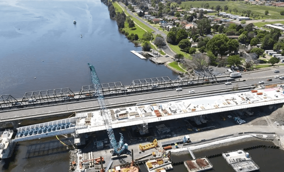
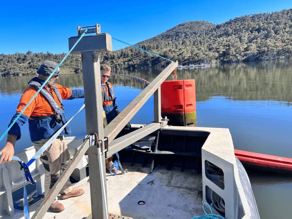
Some of the hydrographic survey projects our commercial boats and skippers have undertaken…